Tag: Local
Howard Hughes Camarillo Airport Connection
Came across this little gem in the Wikipedia article about Oxnard Air Force Base, or what is today Camarillo Airport:
Oxnard Airport was opened in 1934 by the County of Ventura and consisted of a 3,500 foot dirt runway … During the thirties Howard Hughes erected a tent on the airport to shelter his H-1 racer, which he tested from the Oxnard Airport.
All the more interesting considering that I always suspected the scene in The Aviator when Hughes crashes the H-1 into a beet field was filmed in Oxnard. Locals may recognize some of the nearby features in these shots (ignoring the simulated bipack color Scorsese annoyed us with), better to just watched on the DVD at 46:35:
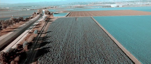
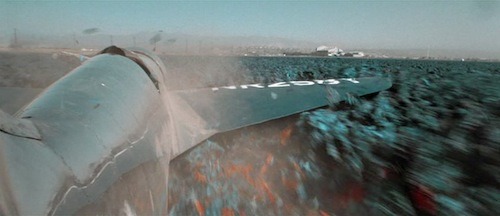
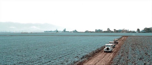
Which pretty confidently puts the shooting location about here. The real event took place near Santa Ana, CA captured in this National Geographic photo.
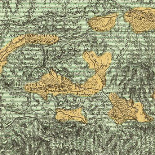
US Geological Survey map of northern Los Angeles and Ventura County from 1881. Thanks to the David Rumsey Collection, you can download this and other maps at very high resolution–makes for endless browsing.
Locals will note the curious reference to Old Bony Peak and Conejo Peak, among the hundreds of interesting observations this map yields. Enjoy!
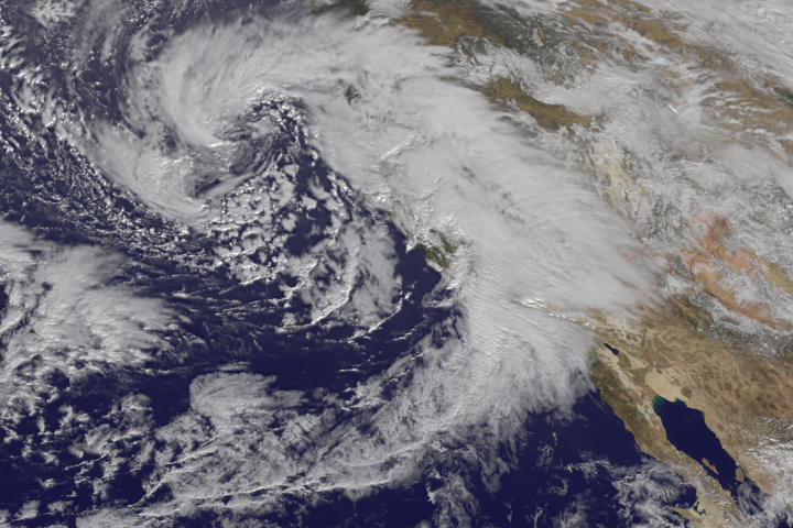
So this is why it’s been raining so much…
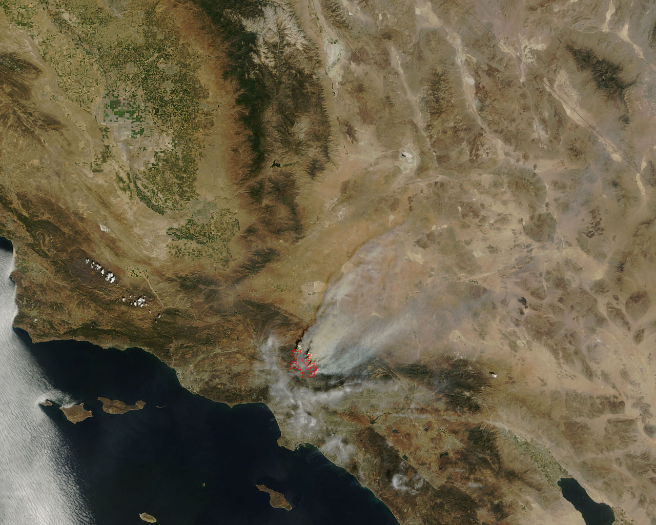
Zero Percent Contained the Station Fire in Los Angeles from www.brandonriza.com. (thanks @DougStanley14)
Satellite photo of the Station Fire on 8/31/09 near Los Angeles, courtesy of NASA.
